Friday, October 15, 2010

Stockton Springs to Fort Point (Maine)

Basics: Launch: Stockton Springs, restroom still open, portapottie still in place. Lots of parking. Launch 11:15, finish2:45 Low 10:45AM, 10.5 miles
There seem to be more and more challenges to paddling. Usually we like an early start. But 35 degrees? It seemed chill so we waited until it warmed up some, even though winds were expected to increase as Thursday went on. Winds from the southeast, which would be a 60 degree angle to most of our planned trip home. By ten, it was flirting with 50, so we headed out in our wet suits and waterproof boots to Stockton Springs.

The harbor was a busy place, a raft was moving about pulling up the moorings, owners were coming to pull their boats to shore. As we headed away we could see the Pentagoet, the Maine Maritime Academy tug, busy with a barge at the platform near Sears Island.
Stockton Springs' Harbor is basically a big bowl with a half mile wide opening between Sears Island and Cape Jellison, protecting it from many winds and waves. It’s not immune to wind and waves though, we’ve gotten there and changed our minds.
This photo shows the entry to the bowl bordered by Cape Jellison to the east and Sears Island to the west. In the distance, the island of Isleboro breaks up waves coming from the south.

The sun came out, the water was so still near Defence Point at the southernmost tip of the Cape.
Defence Head, low tide
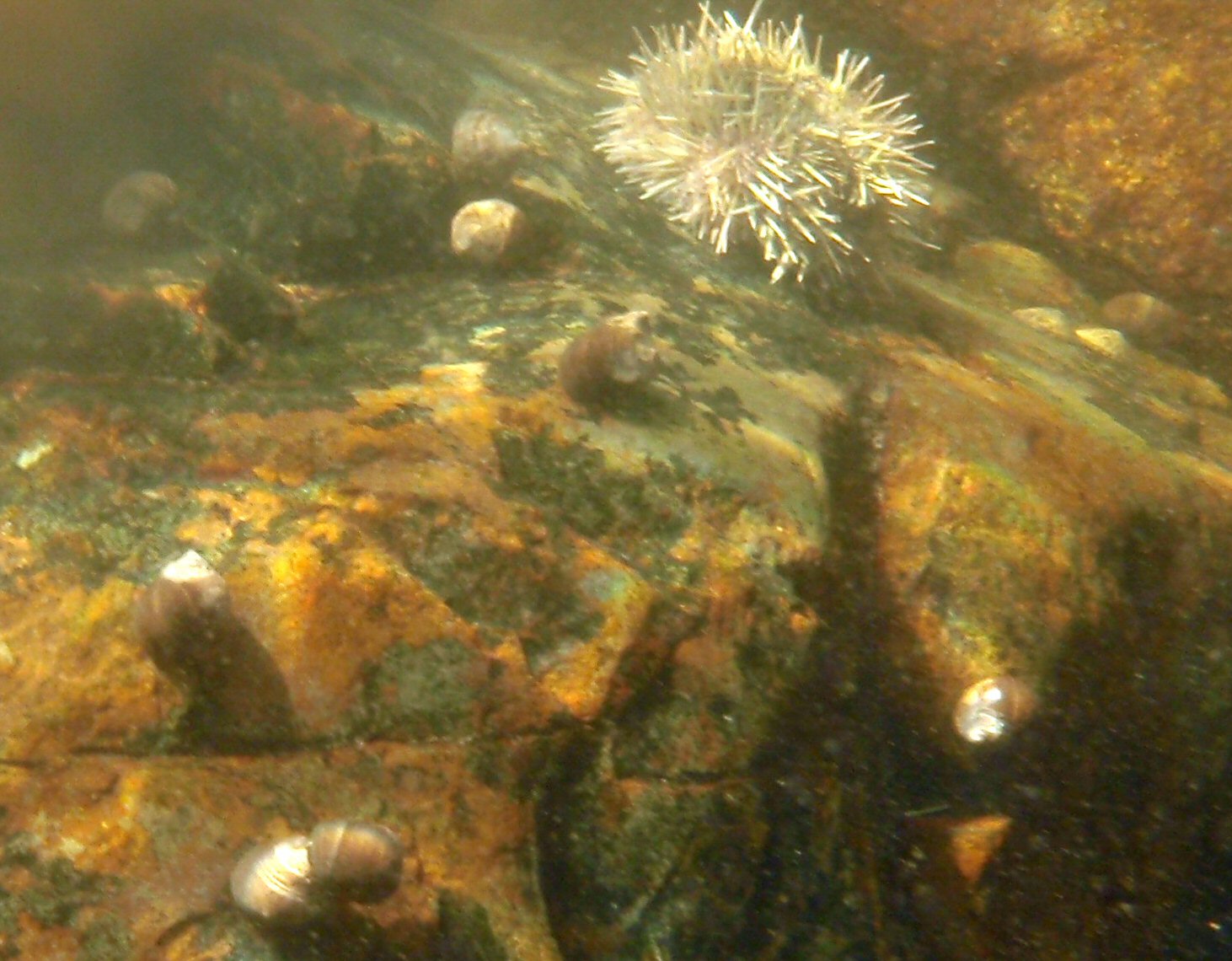
I love low tide on a still bright day, having an opportunity to see what on the sea floor. In the shallow depths some sea urchins and periwinkles remained.
Visibility was high, here Camden Hills peaks over Northport beyond the tip of Sears Island.
Defence Head, a tiny tidal island has a field of rocks at the end of it. It was still close enough to low that we needed to paddle an extra half mile around the island and its bar.
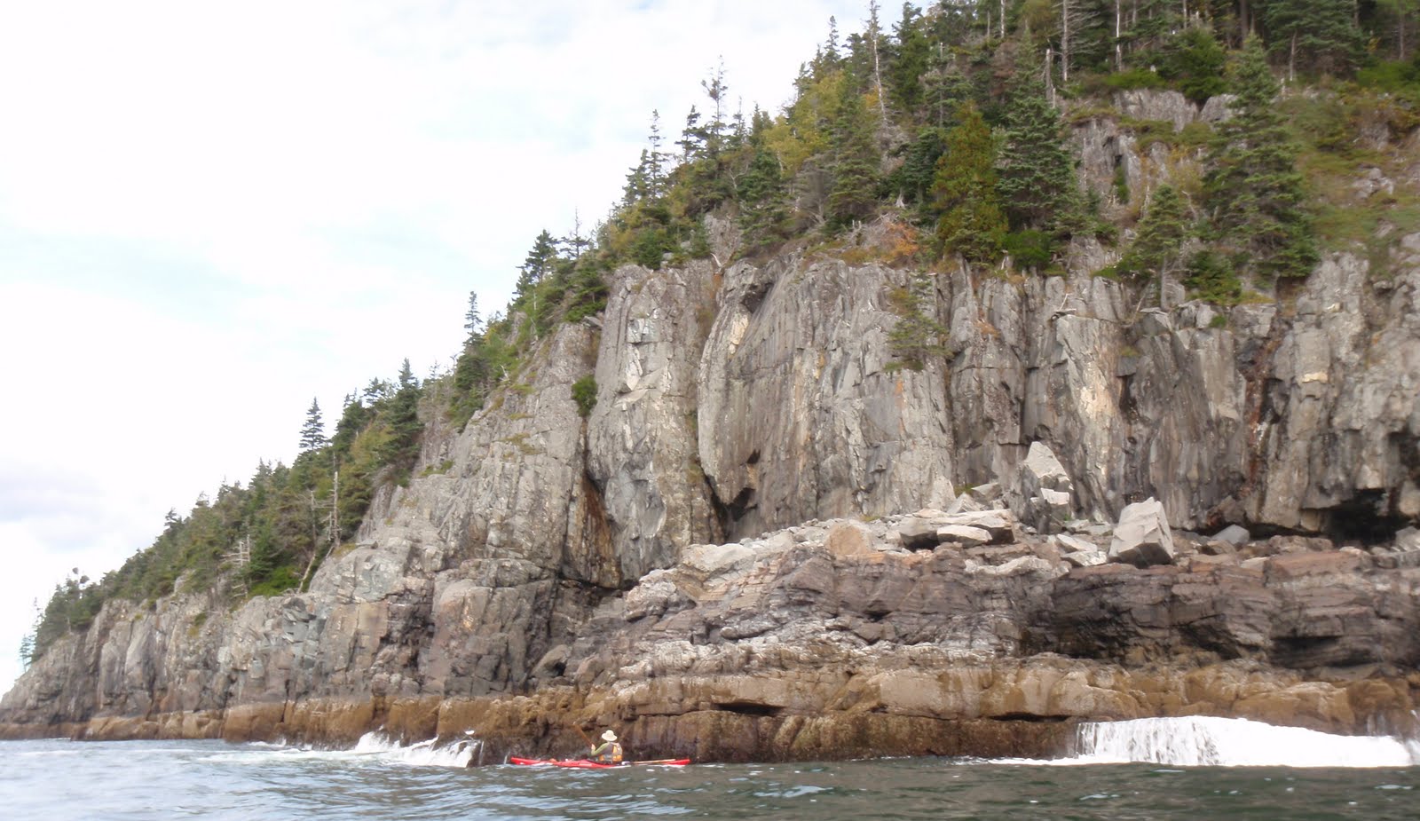
Because wind was expected later in the day, we debated whether to head to Fort Point, or whether to hang around in the harbor area. But we’d seen several boats heading in and out, as well as the student tugboat. We decided to keep to our plan, and headed off along the cliff studded south side.
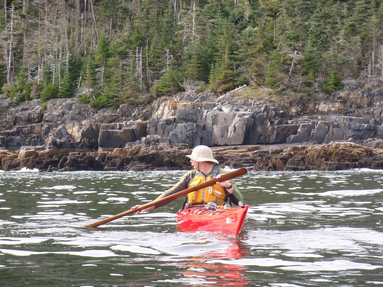
Mark complained that he had to struggle to keep up with me. At first I thought it was just because I was in the Vaag, but as I thought about it, I’d been in the Vaag on a couple of paddles recently, and neither time had Mark mentioned trouble staying ahead. Once we’d even switched boats, so I knew on flat water they both went about as fast. Still, plainly the Vaag caught the wind better than the Zephyr. That didn’t bode well for the return trip.

Soon enough the Fort Point lighthouse came into site.
We moved into the mouth of the Penobscot River, with the Penobscot Narrows Bridge distantly in sight, and pulled over to the sandy bar. Not a beach, swimming is not allowed due to dangerous currents, especially on an outgoing tide.

Right off the bar was a birch tree with no less than 4 woodpeckers jumping about the branches. I didn’t know what they were eating, not wanting to get close enough to disturb them.

Fort Point is a state park and historic site, with a picnic area, pit toilets and foundations of two forts available for a low entry fee. It is just a short drive from the launch point. We ate our lunch and wandered about, joining other photographers taking pictures of the area, and watching the wind build.
The Bell Tower at Fort Point

The wind never was too bad, but there was wind and chop on the way back, which regularly slopped over the deck or up my left arm. I was pleasantly surprised to find the ocean was still quite warm. It never got above 60 on the trip, but I didn’t need gloves. I used a low short stroke heading back. The wave angle was such that I didn’t need to make many correcting strokes. This time, Mark had no complaint about keeping up, instead I fell behind. Partly that may have been the effect of wind on the Vaag, but I’m sure it was also that wind makes me more cautious. Still we made good time, much better time than getting to Fort Point, mainly because it was too choppy to waste time on photos.

The water was high enough to make Defence Head once again an island, and to allow us safe passage closer to shore without hitting any rocks.

Once between Sears Island and Stockton Springs we made even better time. The waves were less, but the wind and incoming tide pushed us along, and the chop was significant enough that we paddled quickly to keep our boats under control.

The Pentagoet was still towing the barge about and docking at the platform. The mooring pulling was still in process, as was the boat removal.
I was grateful that the restroom with the nicest view of any boat launch was still open so I could change into dry clothes for the trip home.

Time from launch to Fort Point: 11:15AM-1PM. Time to return to Stockton Springs: 1:30PM to 2:45PM. We’ve gotten used to picking the best day of the week for ocean going trips; best being defined as warm, clear and low winds. So it was nice to be reminded that less than perfect conditions are still fun.

Monday, October 11, 2010

A change of Buoys

Update:  In 2010 the buoys arrived somewhere between Dec 1 and Dec 4.
Last year, on October 9th, we were out paddling on the Penobscot River when Coast Guard Coastal Buoy Tender 544 the Marcus Hanna came by.
We paddled after it and watched as it pulled a buoy from the river. The buoy disappeared from view onto the deck. Soon after our short attention span (think squirrels) passed and our still bodies began to chill, so we turned back and headed home. Then next day we paddled back to the buoy, and took a photo to see if we could see what had been done.  New Buoy:
Once we got back and compared the photo with an older photo, the differences became obvious. Older Buoy:

I thought that in the winter they put a tougher buoy in the water, the better to withstand the destructive power of freezing cycles and massive chunks of ice propelled by spring runoff.

By April 22 the old buoys were back, I don’t know the exact date they appeared. The Marcus Hanna was deployed to the Gulf of Mexico to help with the BP oil spill in March 2010.

You may have noticed that buoys appear in many of our photos, buoy 7 between Sheep Porcupine and Rum Porcupine off Mount Desert Island, buoy 3 between Lubec and Eastport. One of my favorite buoy photos this year was buoy 1, between Sears Island and Isleboro.
It is a beautiful three tiered bell buoy, marking the outside edge of the shipping channel.

A week ago in anticipation of the changing of the buoys we paddled up once again, this time to get the serial number of the buoy.
We want to see if exactly the same buoy comes back in the spring. Our task was hampered by the current, and some sort of animal remains/droppings which needed to be scraped off the serial number.

All last week I was certain the tender would be back, and we’d get better pictures of the transition. But no luck. I began to doubt my original hypothesis. Maybe the swapping was just once every five years; what I thought of as winter buoys were just substitute buoys.

So I went where everyone goes for answers, Google. In the midst of several Coast Guard press releases about installing winter buoys, I found a handy Coast Guard Power Point presentation on buoys. Now I know so much more! Ocean buoys have an open grid on top and river buoys have a solid top and a below water fin to help them hold direction in the current. 
The presentation goes on to explain the serial number. The first digit is the class; generally reflecting the buoy size. The second, a letter, says whether it is a can or a nun buoy. That’s also obvious from the color, can’s are green (like peas) and have odd numbers on them. Nuns have a nun like pointed cap, are red, and even numbered. Red nuns mark the right side of a channel, green cans mark the left side (sides arranged as you approach the harbor.) The old navigational rule “Right Red Returning” helps us remember where we’re more likely to get hit by a large boat. The third letter is an “R” if it is radar reflective. Then the next two digits show the year it was built. On the summer buoy the three digits after that means it was the 204th buoy built in 1994. “UM” is a code identifying the manufacturer.

I also found this attractive pamphlet about the prior buoy tending class, the 133 foot buoy tenders, which includes a lot of information on buoy history and a focused picture of the Marcus Hanna, a 175 foot buoy tender.

And I learned that Marcus Hanna is named for a Cape Elizabeth lighthouse tender who in 1831 risked his life to save two people from the schooner, Australia, which had caught on a ledge in a winter storm. He is the only lighthouse keeper to be awarded the Medal of Honor and the Gold Lifesaving Medal.

It’s a busy week ahead, I don’t know if I’ll catch the buoy tender. But I’ll be keeping watch.

There are at least two rivers kept open for shipping in Maine, the Kennebec and the Penobscot. And there are buoys in Belfast harbor, at the mouth of the Passy. As I travel about this fall and winter I’m going to be looking for other sightings of replacement buoys.

As a final note, I also found an article saying that the Coast Guard is looking to eliminate many buoys. With all the maintenance involved I can understand, but I would miss them.

Saturday, October 9, 2010

Palmico Excel – Wilderness Systems


Our second kayak, purchased from a small store on a side road in Cape Cod. The front seat shifts, allowing it to be centered when paddled by one person, or further forward, if two are sharing. Boat trials were one at a time, since our kids were with us. I felt like I was practically flying over the marshy inlet by the store, it was so much faster than our Keowee! And on the way back, I ran it into some exposed spike, gouging the hull and giving us an excuse to buy it.
We took it to Connecticut, left the kids with my Mom and went out for some paddles; up the Branford River, from Branford Point to Killiam’s Point. On those trips it became obvious that Mark and I weighed too much to be in the boat together, the slightest waves came over the side. Oh well.
Still, it saw lots of use Back at our house on Wyman Pond. It wasn’t as much fun to poke with as our first boat, but it could really move, plus it could carry one or two kids along with the paddler.
After we moved to Maine, on a crisp fall day, Mark took it, with its deck cover, to Pushaw Lake. Waves rolled over the side, soaking and chilling him and making him realize that the Palmico was inappropriate for the larger cold waters of Maine.
So it became a summer boat. Sitting in front is my sister Ginny, who at the time worked as a bagger. She’d taken her vacations with my Mom or on special group trips for years. After my Mother passed, she began coming to Maine. I knew she liked swimming in pools. Unfortunately, she did not enjoy swimming in lakes, where the bottom was uneven and she couldn’t see her feet.
We tried her the pumpkin seed shaped Keowee; getting her in it on shore, dragging the boat into the water, standing beside her in the water. No luck; she didn’t like it. But surprisingly she expressed a willingness to get into the Palmico.
At first she had a European paddle. But the lack of muscle tone associated with Down Syndrome meant she’d let the paddle rotate on some strokes, then try to pull the flat paddle up from under the water. I spent most of my time countering those moves so we didn’t flip. She did much better with a Greenland paddle, the shaft is larger, which gives her more to grip, and even rotated, it still propelled the boat, so she was less likely to pull it straight up.
This is how I knew we had success. We’d gone paddling as a group. Mark, the boys and their friends were off playing with river soakers. Ginny turned to me and said “We can beat those boys back to lunch!”
She took off paddling. And so did I. High fives all around, we won!
The boat’s bottom is so scarred that I can’t find the original gouge; the top has some permanent black crud in its pebbled finish; the plastic combing is falling off the cockpit; the seat covers are now a gradient of white to black, but it still works its magic.
This summer one young niece lingered on shore while her two even younger cousins played in boats. Later, when the boats were all back, she came to me, “I’d like to go in a boat.”
“OK, the blue one?”
“No,” she said pointing to the Palmico, “that one. You’ll go out with me won’t you?”
“Of course.” And we were off on the water.

If you have a story of a kayak which inspires you, share that in the comments area.


A note about Penobscotpaddles: work, wind and weather has kept us paddling from home this week. Which has given me time to build a better site index, and rearrange things a bit.

Monday, October 4, 2010

Porcupine Islands – Always amazing!

Basics: Launch Bar at the end of Bridge Street in Bar Harbor. No parking: parking is available on West Street and side streets. No facilities: the information booth on Thompson Island is open through another week or so; public toilets are also available at the town dock, seasonably.
High 6:55AM Launch 9:30AM Finish 12:30AM. Prior visit

It was cold this Sunday, just about 50 degrees when we arrived at the end of Bridge Street.
The bar between Bridge Street(left) and Bar Island(right) was still underwater 2.5 hours after high, high tide is marked by the line of seaweed. The ocean is still fairly warm. We packed additional dry clothes, but have not shifted to wetsuits yet (though as Paddle Plump members we retain year round internal wetsuits.) With a pfd on, I didn’t even need a coat, just gloves.
Gracing the water were two huge cruise ships; a big blue ship, the Maasdam and the even bigger Explorer of the Sea. These ships absolutely dominate the water, appearing as big as an island. Foliage season is a popular time to visit Bar Harbor, and cruise ships allow extra visitors without requiring hotels be built. But cruise ships mean tenders; the Maasdam had its own tenders, the Explorer of the Seas was using several large whale watch boats (appearing above as tiny craft.) While Mark parked the car, I checked out the harbor and saw one set of tenders was traveling between Bar and Sheep Porcupine, not normally a busy channel.

Thousands of people made the town jammed, thrilling the shopkeepers. Fortunately Acadia National Park has many different areas to explore. Particularly a short distance from the roads, anyone could find their own space. As paddlers, in no time we’d be on our own private beach, enjoying the glorious day.

We went across to Bar Island, and crept around Bar on the south side until the Explorer came into view. Making sure no tenders were headed in or out, we crossed to Sheep and began seeing some wonderful wave action.
These were just one – two foot swells, not very big at all. Swells are rolling waves, a gentle lift up or down. They usually break only in shallow water, thus seeing breakers off shore often indicates ledge. But when the swells hit the islands, the water exploded up, then poured off the rocks.
We paddled quickly from Sheep Porcupine to Burnt Porcupine, a major boating channel, and from Burnt Porcupine across to Long Porcupine. Along the west shore a lobster boat was setting traps. Lobster boats don’t often work Sundays; but they were out in force. The lobster boat below has a seagull trailing it, hoping for more cast off bait. It’s got a representative buoy posted; orange with a white stripe, so we can guess where it’s headed. Lobster boats come close to shore, and often the crew is focused more on chores than looking ahead, so look out for them, and stay out of their way.
On the corner of Long Porcupine were found a blow hole, performing just like Thunder Hole. And along the South shore cliffs spray sometime went 40 feet in the air!


Obviously we stayed well back from the cliffs and from any confused water echoing off the rocks. In this shot it looks like Mark could reach out and touch the cliffs, he’s actually 20-30 feet away.
The Hop is a tiny island at the end of Long Porcupine which allows public access. As we paddled around it, we spotted an eagle high in the tree. We landed and enjoyed sitting in the sun, though as is often the case, now that we weren’t exercising, we were a little cold. I love beach shots: this shot shows a couple of rounded red rocks. Those are sea bricks, originally used by lobstermen to weight their traps, now rounding in the waves. There are mussel shells. There is a small area of mussels on the Hop, nothing like Bartlett Island though. There are many dark rocks, reflecting the dominate cliff coloring. And there’s a sea urchin.
Usually I don’t see many sea urchins on the Hop. This time there were several collections.
Our boats arch-enemy: barnacles. Each live barnacle has a tiny crab like creature living in it, sticking out feeders to eat. The hollow ones are dead, but still surprising sharp. Mark practices some strokes while waiting for a lobster boat to go through the channel.
Then crosses
By Bald Porcupine we saw a guided kayak tour headed out, one guide two tandems. They'd picked a great day! Along the shallow water behind Bar Island I looked for seastars without luck. Meanwhile this Herring Gull on the shore had a big catch. So I looked harder, and eventually saw a few. We made good time on the trip, helped by an outgoing current. The current was still flowing out as we headed back, check lines about this buoy.
But I figure it was just two hours paddling, the rest on the beach or watching swells smash into the cliffs. The salt air, the cooling breeze, the incredible scenery, the darling urchins (did you notice the tiny heart on one?) It all just went by so quickly.

It was nearly low when we returned and the bar was far busier. We didn’t visit town this trip, but we’ll be back again for pizza at Geddy’s and to see the season end bargains.

Saturday, October 2, 2010

Passadumkeag Stream – Sunshine!

Basics: Launch: Paved Boat Ramp off Route 2 in Passadumkeag Maine, at the mouth where the Passadumkeag Stream enters the Penobscot. Parking for a dozen cars, no facilities. We paddled 6 miles on Passadumkeag and Cold Stream.

Wow! Sunshine at last! It seems like it’s rained all week. So though today was a high wind advisory day, we planned to go paddling in Sunkhaze National Wildlife Refuge. Unfortunately, though the web site claimed we could launch off Route 2, when we arrived at there we learned that public access to the Sunkhaze Stream had been closed at that point. We drove north about two miles to the Costigan launch into the Penobscot River. There the Penobscot was flowing south at about two knots, and the wind blowing from the north at 10-15 knots. While it seemed like we’d get to Sunkhaze pretty quick, getting back, especially after exploring the stream looked tough. So it was back into the car and up to Passadumkeag and this charming landing.
The winds were high on the Penobscot River, which is quite wide and runs north to south. On the Passadumkeag Stream the wind speed was mostly gentle with occasional gusts to 10. The current in the stream was mostly light, though it ran faster at a ledge between the Route 2 Bridge and the railroad bridge and in Cold Stream. Both streams were wide enough, Passadumkeag maybe 70 feet, Cold Stream at least 20 feet wide. While a wonderful fall paddle; this might not be an option in spring.
The base of the stream was mostly forested, and had some lovely color.

The bridge on Spring Bridge Road seemed to be less than ideally maintained. It has a simple dirt launch near the abutment for those wishing to launch closer to Cold Stream.
Shortly after that bridge it was apparent that there was a great opening behind a thin line of trees. I headed up Cold Stream to explore. Maybe it was just the sunshine, but I thought area was incredibly beautiful.

Cold Stream twists and turns and goes for miles with beautiful open marshy scenery. Note the wind in this picture.
A few years ago Mark was asked to give a few words as a "Paddle Safety Expert." It was for an evening news cast, a piece about the dangers of high rivers. Mark and another woman spoke. That woman said that the Penobscot River peaks 4 days after rains, since its many bogs and swamps absorb rainfall and release it slowly, just like this photo of a tiny rivulet coming out of the bog illustrates. (the narrow section is a small rise) She also said the Penobscot had already peaked and was now lower and safer.
Mark was asked about the effect of rain on the river and replied “After a rain storm, it’s a whole different beast.” That was the quote newscaster used and was heard throughout Maine.

We glided back down to the Passadumkeag Stream and continued our way upstream there. I’m glad we did because shortly thereafter we came across this vista overlooking Roundy Ridge.
The white birch trunks really show.
Log cribwork makes me think this was once a saw mill.
Most of the houses along the stream are between Route 2 and Spring Bridge Road, and many have boats ready at the water’s edge. It’s such a pretty river, I’m glad to see those living there appreciate it.
I love the lines of this railroad bridge. Have you ever worked with the West Point bridge design program? This looks like it would be a sure winner for low cost.
And water reflections are amazing!