Chassahowitzka River runs five miles to the sea. Fed by several tributaries, in Google Earth it looks rather like a haunted tree., or an inflamed coronary system.
We startied up by the big yellow pin, which marks Chassahowitzka River Camp, and spent most of our morning exploring the minor tributaries, including an especially narrow one known as the Crack.
"Chassahowitzka" translates as "place of the hanging pumpkins" which is an interesting visual to imagine, but not a sight we happened upon.
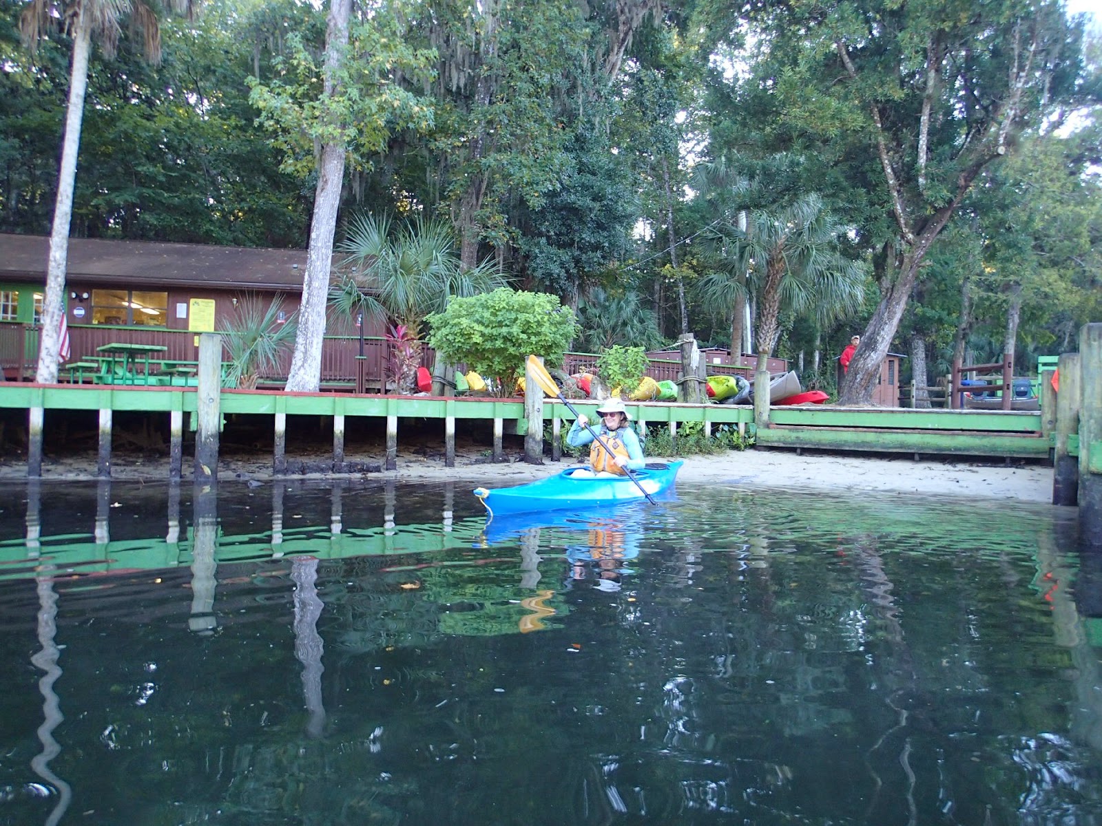
I'd called the camp the night before, and the answering machine informed me the store was open from 8AM-5PM. We were there shortly after 8, and a bit behind several fishermen.
We headed upstream first, to a collection of springs known as the seven sisters. The water was not very deep around the springs. I've read that several of the springs are connected by caves. A rather grim little sign off to the side commemorates those who failed to navigate the caves safely.
This picture isn't great, but it shows how close to the surface and tempting one of the caves is.
After exploring those springs we headed downstream, keeping mostly to the right.
This is a view as we headed by an island.
A number of birds graced the area, there were several osprey, a few eagles, some wood storks and tri-colored heron. This raccoon was the only mammal we spotted. He looks like he might be bowing.
The furthest downriver we went was the mouth of Potter Spring Creek. On the Google Earth picture above, that's the tributary that nearly touches the top. At the end a tiny creek disappeared into the woods.
We followed the clear running water further and further, until at last we came to Potter spring, a small spring with just enough space to spin the boats, and plenty of mosquitoes. This
labeled map shows the location of the spring off to the side.
Then it was back to the main channel, where more boats were headed out to explore.
The Crack appears in many descriptions of the river; again it's a narrow channel which leads to a spring.
The Crack is so shallow and twisty that near the top we had to get out of our kayaks and tow them behind. A the top of the Crack is a good sized swimming hole, but it already had a number of picnickers in attendance, so we moved on.
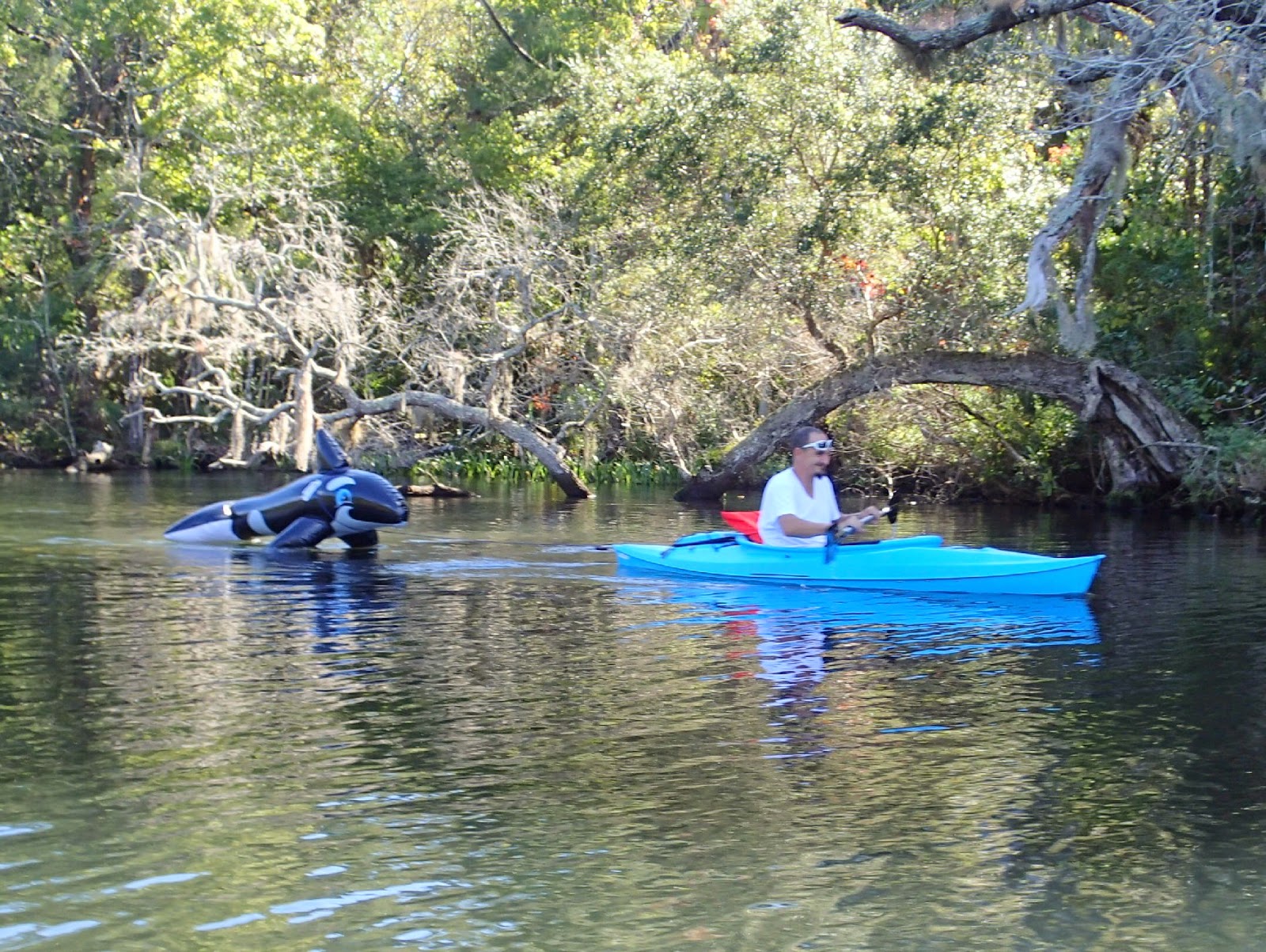
Back at the main channel, it was apparent that all the other boaters were out. Groups of kayaks streamed by, boats raced down the river, there was even an inflatable paddleboard. My favorite was this paddler who seemed unaware that a predator was close behind.
With everyone else on the river, it was time for us to head ashore. The Chassahowitzka had been a fun river, a briny environment where crabs were frequently spotted. The waters, especially in the tributaries, were often shallow, so I was glad we weren't on our paddleboards looking to find a path for the nine inch fins. The many creeks give lots of places to investigate, I felt like a jungle explorer.
Links:
Chassahowitzka River Camp
A nicely labeled map of the river : http://www.chassahowitzka.net/rmap.htm
Chassahowitzka River Wikipedia
Summary: Launch and rental from the Chassahowitzka River Camp at about 8:30, finish about 11:30. Bathrooms are available at the store Low was earlier in the morning. We wound up paddling about 8 miles.


Beautiful paddle and interesting name for the river. From the map, looks like you could get a little lost without some navigating tools? But looks truly fascinating to explore. Cheers from Canada!
ReplyDeleteThe nice thing about a river is you can always follow the strongest flow back, but we did bring a GPS with us so we knew which branch was which. And I wish we'd had the linked/named map above, rather than just the Google Earth picture when we were paddling.
Delete