Thursday, July 30, 2015

Racing low at Naskeag (Maine)

Looking from Pond Island to Blue Hill Bay Light on Green Island

  As I sit in the basement, trying to get my brain to think on this hot, sticky day, it's hard to remember how cold it was last Saturday.  61 degrees (F)  with a light but steady wind from the east and iffy skies.  So of course we headed to Naskeag, a launch site from which we regularly get caught in fog or rain.

   But we go to Naskeag for multiple reasons; you can get to islands without crossing any channels,  it's easy to get to and rarely crowded,  and most importantly, there are so many wonderful places to go if it is clear enough

  There is plenty of parking for cars at Naskeag Point in Brooklin Maine, but less for vehicles towing trailers.  Some trailers parked on the beach (a firm crushed granite beach), some along side of the road, a few placed a trailer in one spot, truck in the other and one took up four or five spaces.

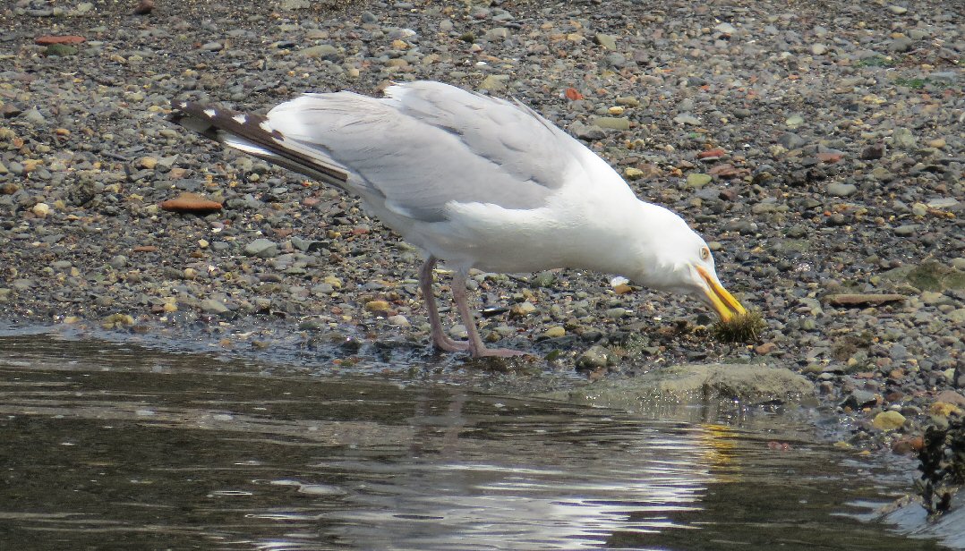
  Though the skies were gray, there was no fog, so we headed across to Pond Island, passing on the way Mahoney, a active bird island.  In addition to the variety showing up in the picture (cormorant, gulls, eiders) terns, guillemots, and loons hung out by the island.


  Our crossing took us to Opechee, then it was a matter of seeing if we could beat low to cross between Opechee and Jons, and again between Opechee and Black.  The water was just passable between Opechee and Black.

   Over 100 seals were spotted on various ledges.  This shot is of a crowded ledge east of John's Island.


   Only one raccoon was scene, running free on Opechee.


   Lunch, at just about low, was on Pond Island, before riding some choppy water back to Naskeag.

Another picture from Pond Island

  Summary:  Launch 10:30AM, low just about noon, finish about 1:30.  8 miles, one break.   Naskeag offers about 20 single car spaces, trailered vehicles tend to part on the side of the road.  Port-a-pottie.   All tides crushed rock ramp, dock, also a nice picnic area and beach at the launch.

Wednesday, July 22, 2015

Moose Neck, South Addison, Maine


South Addison has a really nice ramp out on Moose Neck.  It's large, all tides and has plenty of parking. We were there on a Saturday in early July, and not very many spaces were taken.  The ramp leads into Eastern Harbor, a very protected area, with a few scenic lobster boats.


  In addition to moored boats and wharfs, the harbor seemed to have a goodly supply of moon jellies who'd made their way in and seemed ready to stay for the summer.  Across from the ramp, on Cape Split an artifical lighthouse peeked out from behind some trees.  Further out, to the southwest and behind scenic Ladle Island, was a more formal lighthouse on Little Nash, though checking the chart, we learned that lighthouse was abandoned.

Ladle Island, looking quite appealing.  The abandoned lighthouse is barely visible to the left.


  We weren't headed west though, but east into the smattering of islands by Tibbets Narrows.

A bell buoy and multiple islands - what could be better?
  There we encountered a Bell Buoy, always a favorite sighting,  and in the distance, ledges full of sunning seals.

Distant shiny seals decorate Hay Ledge

   We paddled by Plummer's Islands, looking to see if we might make it between the two, but it was well past time for that crossing.   Then it was on to another chain of islands, taking a break upon Stevens.  I can't help but feel our landing would have been more pleasant at a slightly higher tide, but the shoreline was mostly solid, which just a couple patches of  mud.

Two boats on Stevens Island

  And dashing about, nearly hidden by their coloring were several tiny sandpipers, which we've identified, tentatively, as least sandpipers.  Two pipers are plainly visible in this photo.


 But on the island, the birds appeared more as brown blurs against the landscape.  This photo has a seven or eight blurry birds in it.


   After Stevens we headed for Duck Ledges and then back between Tibbett Island and Moose Neck, before returning to the launch.  South Addision was a new launch for us, I'm sure we'll be back to explore the area some more.

Summary:  Launch 10:30AM, Finish 12:30PM, Low about 1:20PM.  Lots of parking, concrete ramp, no facilities that I saw.  7.5 miles with one break.


Tuesday, July 14, 2015

Welcoming the Hermione to Castine


Crowds fill Fort Madison, and all other access points along the harbor
"Vive la France!"  the cry came up behind me from the crowd at Fort Madison.

 When was the last time Castine harbor heard that cry?  Maybe in the mid 1600's when Baron Castin was still in residence.  Then the cry might have come from Fort Pentogoet, located near where Our Lady of Holy Hope is currently located, as soldiers saw ships coming in with new supplies.

   Certainly that cry had not  been heard from Fort Madison, a U.S. fort built in 1809 to defend against another English capture of Castine.  When Castine was again attacked in 1814 by the English the poorly staffed fort made one token shot, spiked their cannons and disbanded.

Arriving out of the mist
  But on July 14, 2015, the cry was to honor a visit from the Hermoine, a replica of the ship on which Lafayette sailed to America in 1780, bringing with him crucial military strategies used during the Revolutionary War, and more importantly,  support for an independent United States from an established European country.

  It was the perfect day for a ship to visit.  There was light fog on the water, making it easier to transport back in time to when sailing ships ruled the seas.

The side of the canoe reads:  "Water is a blessing for all life."

  We'd arrived at Wadsworth Cove at 1PM, and launched from there to the harbor, it was about three when the ships began to enter the harbor.  We'd passed our time paddling up and down, and chatting with other folks in small boats, including Reinhard Zollitsch, who along with making several long canoe journeys has also helped race sailing schooners.


  It wasn't only the Hermione that arrived, but a whole flotilla of boats, everything from schooners and yachts to dories and kayaks.
The second boat appears to be a sailing diesel yacht

   Some ships announced their arrival with cannon fire, others with honks or fog horns.   A very festive event; though it might be fair to state it was also a bit zoo-ey and many kayaks seemed to disregard any guidance about taking care near large boats.

  But to see such a grand ship sailing - what can you say but "C'est magnifique!"


More about the Hermione
More about the Hermione visit in Castine   Several streets in Castine have been set up as temporary one way streets to allow for more parking.  Even so, it seemed like every spot was filled when we left....
 

Monday, July 13, 2015

Friar Bay, Campobello Island N.B.

Mulholland Light to the left, Lubec to the right
  We went to Friar Bay to enjoy a low tide paddle.  Actually, we came to the Lubec/Campobello area to enjoy low tide, then decided once we were there that the best way to see low tide was from the water.  So we crossed to Campobello Island and looked for a place to paddle.  We had our passports with us, and they were checked both ways.  Campobello Island may only be connected by a bridge to Lubec, Maine (and to the rest of New Brunswick by a seasonal ferry) but don't expect customs to ignore your crossings..

  Friar Bay was recommended by the information center as the place where they paddled, and conveniently it was quite close.  It's a broad open bay, with a nice rock/sandy bottom.  Friar Head and a sea stack are located to the southwest side of the bay.  Friar Bay is where Franklin Roosevelt used to anchor his yacht when he came to visit his summer residence on Campobello Island.

  We paddled off to the sea stacks, going by several sights on the way.  A couple abandoned boats, one old, one newer.

 There's a nice dock, which I think must be associated with  Roosevelt Campobello International Park, though I don't see anything about it on their site.


Some sort of aquaculture marked by yellow buoys.


  The sea stack looks most like a friar in this photo.

  And lots of wildlife, several sightings of ctenophora,  include a ribbon-like cestid comb jelly.  There were also  more than a few jellyfish.


  Lots of sea stars, and urchins.  (They were mostly on rockier shores)


  This sea gull gets to enjoy an urchin.


  Sand dollars freckled across the floor.

  We paddled down to Mulholland Lighthouse.  The narrows under FDR bridge are marked as hazardous for navigations because of the fast currents there mid tide.

   Out along Friar Bay, though, the water was peaceful and quiet, with plenty of time to observe the ocean floor.  We arrived back nearly at dead low, with quite a bit more sandy bottom to cross to return to our cars.


Summary:  Launch  Friar Bay Beach, adequate parking, no facilities.  There is an information center about a mile away.  We launched at 10:30 EDT, finished at noon.  Low was at 12:40.   About 3.5 miles. We headed back to Lubec for lunch, where we captured one of my favorite shots of the day, looking back toward Mulholland Light.