What does it take to make a good moment?
Almost nothing. I was sitting in the shade in front seat of our car, drinking an icy drink, windows open to let westerly breezes in, pleasantly exercised by a recent paddle about Bucksport Harbor, when I thought, "it doesn't get much better than this."
And really it doesn't. It's not that Bucksport is an amazing paddle, there aren't any small islands or waves(though at certain points in the tide cycle there can be some very challenging conditions just upstream from the fort). There weren't even any buzzards today. But there were some lovely sights:
The new Penobscot Narrows Bridge, opened in 2006, and the footings of the old Waldo-Hancock Bridge.
Fort Knox: After the British were successful in capturing Bangor and surrounding
towns both in the Revoluntionary War and the War of 1812, Fort Knox was
built overlooking the narrows. Built between 1844-1869, but never used,
Fort Knox remains as an impressive site and a terrific place to
explore.
(To the left is Fort Knox in Prospect, right is the Verso Papermill across the river in Bucksport)
The house at the Ferry Boat Landing just above Fort Knox. What a classic house this is, and such a lovely siting. This is a
fun video from 1925 of the ferry in action.
We saw seals and osprey, which avoided the camera. Further up river were these high cliffs, providing some shade. On a hot humid day, shade has a lot of appeal.
An old dock and its rotting components, appealing in its decrepitude, and a great resting spot for cormorants.
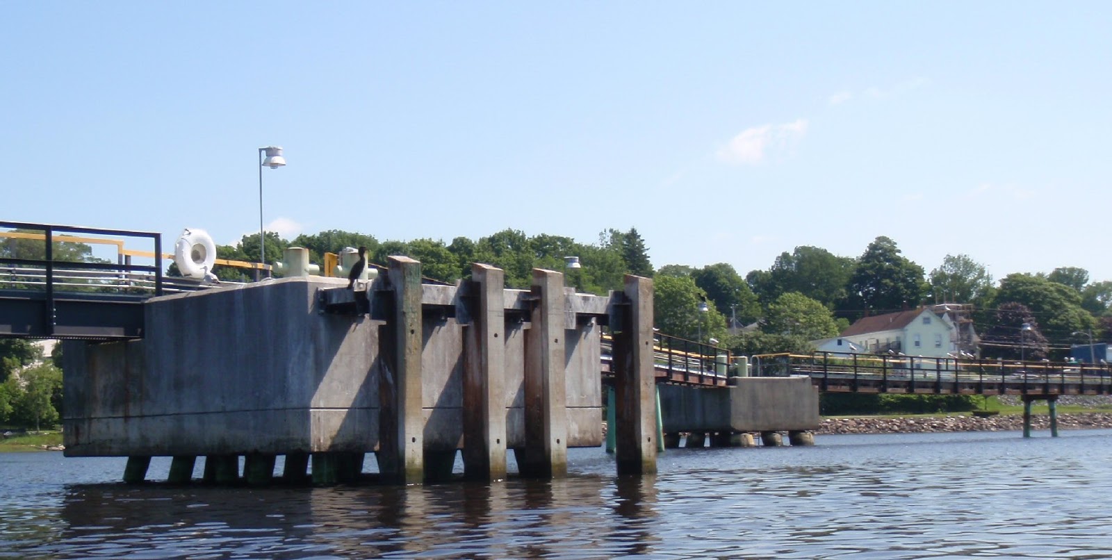
Just south of the Verso Paper Mill, a new dock had attracted its own crew of bird life. New dock or old, birds are appreciative of any perch. this one had cormorants, seagulls and a few osprey.
A few boats lingered in the harbor. This boat was up in Bangor for a week or two, there it was named the "Zee Whiz." That name has been painted out, and it may be in the process of being renamed the "Sebago." It had a prior life as a ferry to Fire Island, but I don't know what it's new plans are.
Bucksport Harbor and its surrounding area has far more history associated with it than this short post mentions. Still my key take away from this paddle, was enjoying my local environs is one easy way to build happy summer memories. I hope you're enjoying summer paddles too!
Summary: Launch Verona Island. Looped down to the bridge, across to Fort Knox, up to the power lines, down to the abandoned dock, back along Bucksport Harbor. 6 miles. Launch 8AM, finish 11:00, one stop High 10:15AM. (The Google earth above is a shorter journey, the abandoned dock is maybe a half mile further upstream.)