
When people think of summer in Maine, days like July 25 are the days they dream of: low humidity, pleasant temperatures, a nice
northwest breeze and a sky that goes forever.

 Basics: Launch Just before the Bridge on Route 116. (Exit 199 off I-95, south less than a mile on Route 16, left onto Rt 166, Southgate Rd) less than a mile to the launch. ) This launch is just a dirt ramp before the bridge abutment, there are no facilities, and limited parking. It sees regular use, both for those accessing Birch Stream and those accessing the Penobscot River. (This ramp is the same as the stop halfway around Orson Island) 6 miles, two hours.
 It’s definitely fall, and our records show that sometime in the next two weeks we’ll probably have our last ocean paddle. Not this week though, the weather has been too erratic: thunderstorms, rain or high wind have graced every day . Color is coming in gradually, some maples are at their peak, others just beginning to turn. Since red(swamp) maples are often the first to turn, we thought a paddle on a stream might present some beautiful colors. Plus a twisty stream is unlikely to be affected by all but the most powerful winds.
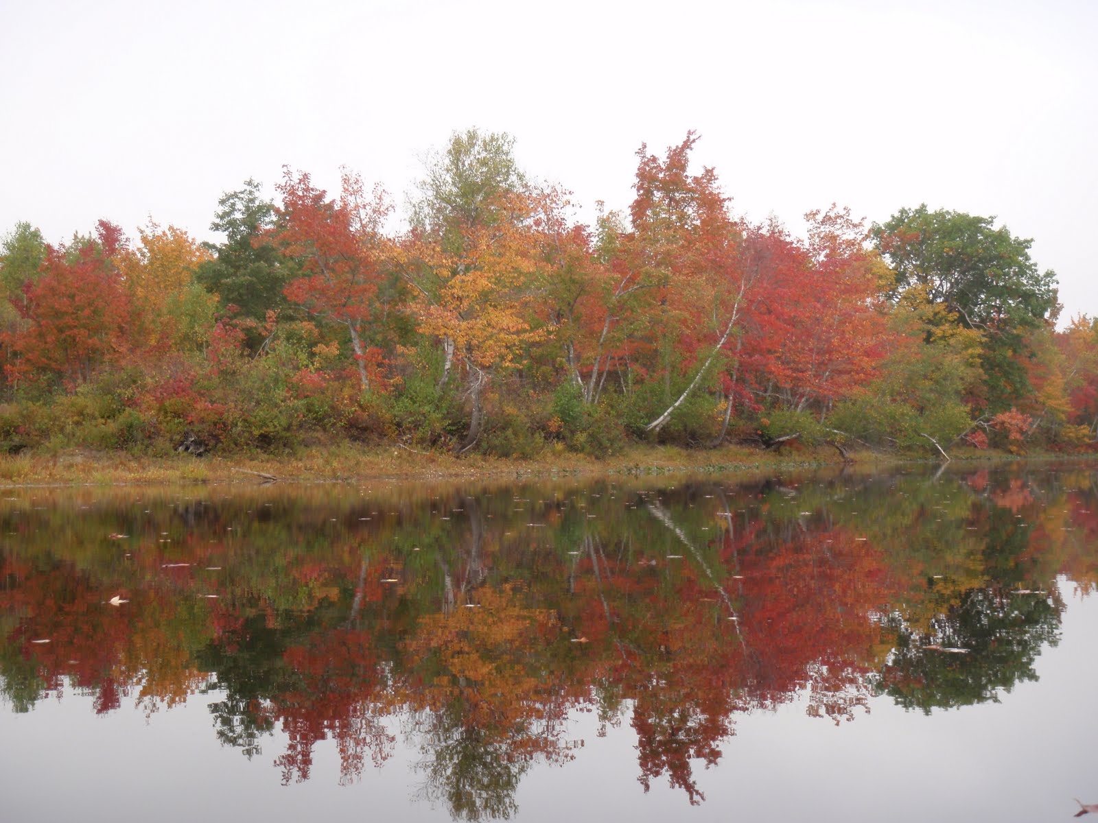 And the bright green of the rushes at the water’s edge made a great contrast.
 There are side pockets along the stream but none of them went very deep, at least in the section we paddled. Note the many pale birch trunks.
 I like this red maple because though it has barely changed, some leaves are completely red and others totally yellow.
  We didn’t see much wildlife, a heron, some cormorants and ducks, a few kingfishers. And this poor frog, hoping for enough sunlight to escape the many frog loving predators.
 We turned around shortly after passing under I-95, one bridge of the highway is new, the other much older.
 We did see a little sunlight on the way back – Yay!


 The water was crystal clear today. At one point we passed over a huge crop of fresh water clams, a treasure trove for any raccoon.


