Tuesday, July 30, 2013

Smart Enough to Come in? I guess not...

Naskeag Harbor launch
 I suppose it's no coincidence that we often wind up at Naskeag on foggy mornings.  After all, there are so many islands close to shore.

Erratic by Babson
    And the fog was supposed to lift.  Besides, there's an erratic to amuse us.
 Fog is a chance to test navigational skills.  We haven't headed west recently from Naskeag Point, Mark is trying to figure out which island that odd monument is located on.
Lone Tree Monument of Torry Islands
A bit further along and it's apparent the monument is really a tree; the lone tree monument (by the sailboat.)

Mark by Bear Island, most of his shirt is still dry
Fortunately the fog was light enough to cross the channel.  Further on the rain started.   Well, showers were predicted for afternoon.  We though the rain would  stop soon.

Cormorants on the Boulders
Or not.

Eventually, it seemed prudent to head back.  Our final debate was if we should stop on an island  first?  Our seats were about the only dry part left.  And, we'd certainly get wet loading our boats back onto the car.
Hanging out on Sellers
It may be damp, but it's still our own special island!
Coming into the harbor, we finally saw Blue Sky!

Summary:  Launch Naskeag Point, Brooklin Maine.  Busy work launch, easiest to park on Sundays.   If you go on a threatening Sunday, you can be the only car in the lot!   Portapottie, gravel launch.   Launch 10AM, finish 1 PM, high about 4:15PM, one break.  9 miles.

Saturday, July 6, 2013

Crossing the Penobscot by Bucksport


What does it take to make a good moment?

Almost nothing.  I was sitting in the shade in front seat of our car, drinking an icy drink, windows open to let westerly breezes in, pleasantly exercised by a recent paddle about Bucksport Harbor, when I thought, "it doesn't get much better than this."

And really it doesn't.  It's not that Bucksport is an amazing paddle, there aren't any small islands or waves(though at certain points in the tide cycle there can be some very challenging conditions just upstream from the fort).  There weren't even any buzzards today.  But there were some lovely sights:
The new Penobscot Narrows Bridge, opened in 2006, and the footings of the old Waldo-Hancock Bridge.
Fort Knox:  After the British were successful in capturing Bangor and surrounding towns both in the Revoluntionary War and the War of 1812, Fort Knox was built overlooking the narrows.  Built between 1844-1869, but never used, Fort Knox remains as an impressive site and a terrific place to explore.
(To the left is Fort Knox in Prospect,  right is the Verso Papermill across the river in Bucksport)

The house at the Ferry Boat Landing just above Fort Knox.  What a classic house this is, and such a lovely siting. This is a fun video from 1925 of the ferry in action.
We saw seals and osprey, which avoided the camera.  Further up river were these high cliffs, providing some shade.  On a hot humid day, shade has a lot of appeal.
An old dock and its rotting components, appealing in its decrepitude, and a great resting spot for cormorants. 
Just south of the Verso Paper Mill, a new dock had attracted its own crew of bird life.  New dock or old, birds are appreciative of any perch.  this one had cormorants, seagulls and a few osprey.
A few boats lingered in the harbor.   This boat was up in Bangor for a week or two, there it was named the "Zee Whiz."  That name has been painted out, and it may be in the process of being renamed the "Sebago." It had a prior life as a ferry to Fire Island, but I don't know what it's new plans are.

Bucksport Harbor and its surrounding area has far more history associated with it than this short post mentions.  Still my key take away from this paddle, was enjoying my local environs is one easy way to build  happy summer memories.  I hope you're enjoying summer paddles too!


Summary:  Launch Verona Island.  Looped down to the bridge, across to Fort Knox, up to the power lines, down to the abandoned dock, back along Bucksport Harbor.  6 miles.  Launch 8AM, finish 11:00, one stop  High 10:15AM.  (The Google earth above is a shorter journey, the abandoned dock is maybe a half mile further upstream.)


Wednesday, June 26, 2013

Curtis Cove to the Cape Porpoise Islands Kennebunk Maine

    A few years ago Kennebunkport Conservation Trust allowed several islands to be added to the Maine Island Trail.  Not just one, but several islands!  How could we resist?   We added these to our places to get someday;  someday on an incoming tide, because the islands dry out at low tide.
  Maine Island Trail shows state boat launch sites for the lower Saco River and Webhannet RiverPaddling.net launch sites gave us a third option, Timber Point,(Curtis Cove) Kennebunk.  And Monday worked out to be a day Mark could take off, with beautiful weather and a noon:30 high.
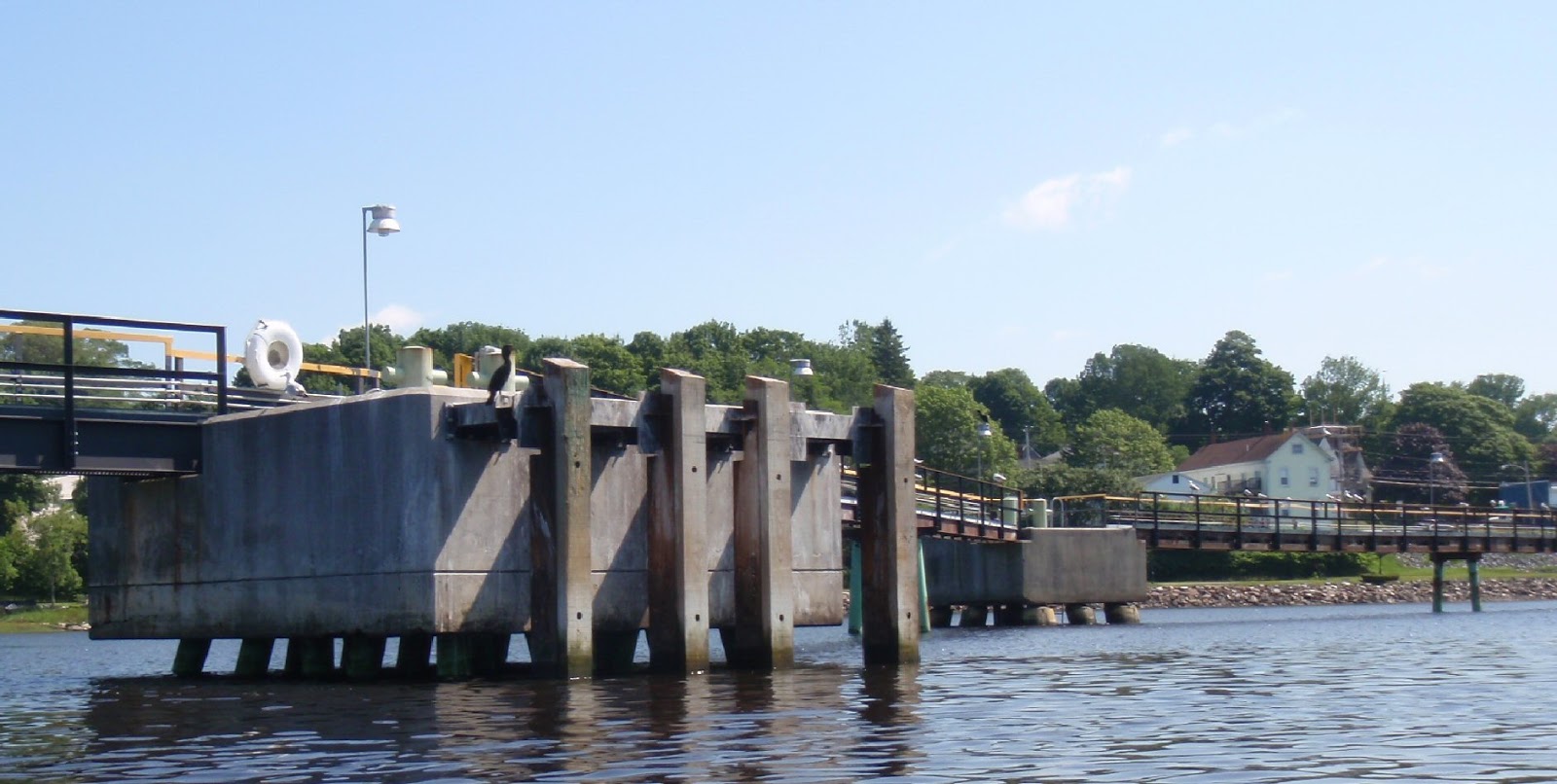
    So with impeccable timing, we arrived at the five available parking spaces at the end of Granite Point Road only to discover several trucks and pieces of equipment from Kennebunk Water District 1 working on a water line leak.  Very kindly, they pointed to a parking space that wouldn't interfere with the ongoing work.  A few minutes later, a second car arrived, necessitating a shuffle for our car and a shift in where the kayaks were being loaded so the new arrival could also squeeze in.
    The parking places allow access to the Little River or Curtis Cove.  The Little River is a salt water estuary, no doubt best explored on an incoming tide as well.  We had planned to launch from the Cove though, which was just as well, as access to the back side was blocked by the work crew.   Curtis Cove is fairly small, positioned so it is protected from southeast swells which dominate the Maine coast.  It's surrounded by popular swimming beaches with wide sand expanses, such as Goose Rocks Beach and Fortune's Rocks.
Ready to launch
    About 9:30 AM we launched, heading southwest.  We passed Timber Island crossing straight for Stage Island, a 1.5 mile crossing enlivened by waves pushed by a west wind.  Additional excitement was added by southeastern swells, one lone porpoise, a couple of lobster boats and many colorful lobster buoys.
   Our plan was to go down and loop through the islands, staying out of the channel.
Shelter on Fort Island
    Some tidbits about the islands: Stage Island was used for drying cod, Fort Island(also called Little Stage) had a fort on it to which European settlers fled during a conflict with the Natives in April 1689.  This building is thought to be built on the site of the old Fort (and may be used as shelter in emergencies.)
  We picked our way between Trott and Cape, looking out to sea as we did.  There are reefs beyond Goat Island, and it was entertaining to watch lobster boats crash through the breakers on their way to the channel.
   So after seas which could have been used as the illustrations for Fantasia's version of Toccata and Fugue in D Minor, and picking our way among the breakers and boulders between Trott and Goat we found ourselves in a quiet mill pond out on the sea, with water just three feet deep.  To our south was Goat Island, home to one of the last manned lighthouses on the Maine coast.  Even after the lighthouse was automated, the island was used by the Secret Service to monitor President George H. W. Bush's compound.  To our west was Cape Porpoise, several lobster boats, a canoe and multiple kayaks.  Noting the casual paddling styles, and frequent lack of life jackets, it became apparent that there must be a launch nearer these islands.
Canoe approaches Goat Island
    We popped over to the pier, filled with tourists and fisherman (Kayak launching is not allowed at the pier).
 We talked to a woman who had kayaking on her bucket list, then worked our way between Redin and Trott, admiring a beautiful willet on the way.
   Lunch was on Trott Island at a lovely cobble beach, filled with an array of elegant rounded rocks.
Sitting on Trott, looking to Cape Island
    After lunch we found our way between Fort and Stage before making the long crossing back to Timber, where nun buoy 4 had gone aground.   We went to the back side of Timber so once more we found ourselves picking our way through rocky shallows before paddling into Curtis cove.
    Back in the lot, the Kennebunk Water Department was still laboring away in the 90+ degree heat and 90+% humidity.
   Southern Maine is an interesting area.  Northern Maine is the rock-bound coast, beaches are small and mostly rocky.  High cliffs overlook the water.  Huge granite drops serve as islands scattered across bays and deep inlets.  Big water waits outside the bays.  Southern Maine has a straighter coast line, wide sandy beaches, deep marshy estuaries and breaking waves just a short distance off shore. 
 
Looking for safe passage between Stage and Fort
More about the Islands   The Hunt for Stage Island Fort
More About Goat Island Light
Launches in Cape Porpoise
Southern Maine Launch Sites Moody-Biddeford from Kayak Excursion (SUP and Kayaks, Trips and Rentals)
More about Timber Point/Timber Island nearby Curtis Cove.  The same launch site can also be used to access the Little River, a salt water estuary which is part of the Rachel Carson National Wildlife Refuge.

Our charts don't name the islands, these are two clips from Google earth  Fort is also known as Little Stage
Summary:  Launch Curtis Cove, 5 parking spaces, no facilities.  Finish 12:30PM.  High 12:30 PM.  10 miles, one stop.  

Saturday, June 22, 2013

The End of the Waldo Hancock Bridge


The vessel made surprisingly little noise as it came up behind us Wednesday night.  Maybe the barge reflected the noise of the two Fournier Tractor tugboats down river.

On board the barge, two huge cranes.  That they were heading up to Cianbro could mean only one thing:  they'd finished taking down the towers of the Waldo Hancock Bridge.  The top of the second tugboat is barely visible in front of the crane.


    The Waldo Hancock Bridge was built in 1931*.  It was the first long span construction bridge built in Maine, and the first to use Vierendeeltruss in its towers.  The first time I remember crossing the bridge was in 1980 on a bike.  I'm not a fan of heights, and I didn't particularly care for how the bridge rattled as trucks crossed over it.  But I loved how it looked and how after it was closed, it became a home for osprey and peregrine falcons.  In 2006 the Waldo Hancock Bridge was replaced by the Penobscot Narrows Bridge.
   In December they began taking down the old bridge, first removing the road bed, then the cables.

   By June they were taking apart the towers.

   And now even those cranes were done.  The Maine DOT states that the concrete feet will remain and become river markers.
   So long,  I'm really going to miss the double bridge view.
  
* from wikipedia Waldo Hancock Bridge

Tuesday, June 18, 2013

Scenes from the Porcupines - Mount Desert Island


Out by Burnt Porcupine and Rum Key looking across Frenchman's bay
Sunday was just another glorious day in Maine.  Lots of sun, just enough wind.  A bright and early start on one of our favorite trips.

    We were greeted by a black backed gull and a porpoise at buoy 7.  We'd see another pod of porpoise out beyond Long Porcupine.

   The cliffs, as always were amazing.

Lots of guillemots on the water, once again, most came out in pictures as blurry black dots.  We took a break on the tombolo between Long Porcupine and the Hop.

Out at the Hop lots of new sea bricks had been deposited on shore.  Bricks (or stones) were a necessity to sink wooden lobster traps, at least until the laths became soaked.  With metal traps, bricks help keep the trap in place, and help it to sink right side up.  These bricks have escaped from traps and tumbled across the ocean floor before being tossed up on shore.  (Many traps now use concrete bars instead - somewhat less attractive.)

Lots of others out on Frenchman's Bay.  We came upon the Margaret Todd by Rum Key.  I just love this four masted schooner, so I had a hard time choosing between this shot of the ship on Frenchmen's Bay.
This one, sailing by Sheep Porcupine with Cadillac Mountain in the background.

Or this with Mark positioned between them.

At any rate, there are few places as magnificent for paddling.

Summary Information: Launch Bar at the end of Bridge Street in Bar Harbor. No parking at launch: parking is available on West Street and side streets. No facilities: the information booth on Thompson Island is one options as are public toilets at the town dock.
High about 5:30 AM  Launch 9AM Finish Noon.  8 miles


Saturday, June 8, 2013

Checking on VolturnUS 1.8

    There are few things more relaxing than a paddle in the shade at the end of a long hot day.  So kayaking up-river to check on the University of Maine's new windmill seemed like a great idea, though I probably could have done without ant flavored water.*
Hey, there's a boat!
   And, to be truthful, we didn't really intend to paddle up as far as the Cianbro facility, we expected we'd meet the windmill heading downstream.  After all the ceremony launching the windmill was held at noon, and reports said it was launched and ready to be towed into position.
    But, as it turns out, the windmill was still undergoing adjustments.

      It would be early Sunday morning before the windmill passed by, towed by the Maine Maritime Academy Tug, the Pentagoet.    Look at how smoothly it flows through the water, nary a ripple!  I thought it would be like pulling a giraffe.

In addition to being the name of a Roman God of the Waters, Volturnus is a one-eighth scale model of an off-shore stationed wind turbine.  It was built by the Advance Structures and Composite Center at UMO.   This department, operating under the creative vision of Dr. Habib Dagher, has developed several other products include Bridge in a Backpack and lightweight bullet proof panels

VolturnUS is the first deep sea wind turbine to be deployed in U.S. Waters.  It's scheduled to spend the next month stationed off Dyce's Head in Castine.  Then it will be headed to deeper water beyond Vinalhaven.  Along with VoturnUS, this monitoring buoy will be placed on the water.  It uses lasers to detect wind speed 600 feet above the ocean surface.
   We also made two trips to Castine, one ahead of the windmill to check out it's placement, and the second later in the week.

   For our second trip Castine we went late afternoon so we could see the turbine moving.  It made for some interesting water at the mouth of the Bagaduce, but sadly the turbine was not operating.  I'm hoping for great results from this rig.  Even Governor LePage, normally a windpower critic, offered  support for this project.  Dr. Dagher and the Advance Structures and Composite Center bring great positive energy to the Bangor region.  As Peter Vigue, CEO of Cianbro says, "Why not Maine?"

   I really want to see it in motion and listen for the sound of the turbine spinning.  So we'll probably be headed to Castine again.  After all, there's nothing more invigorating then being out in the kind of water your boat is built to handle.

*to make ant flavored water just grab an empty plastic bottle and fill it half way.  About a mile or two from home check the bottle and discover a large ant floating in.  Worry about what the presence of a carpenter ant inside you house indicates, and try to avoid drinking the insect.   


A few articles on the turbine and its associated buoy.  (Someone there at the Advance Structures and Composite is pretty good with publicity.)

Ecogeek.org  First US Floating Turbine Launched
Forbes   Maine Makes Waves
New York Times  A New Way to Harvest Wind Energy
Bangor Daily News UMaine shows off new buoy